A major regional geospatial information system and other innovative risk assessment tools are being developed to assist Pacific Island countries to undertake evidence-based decision making in development planning and finance.
A four-day workshop, running from 9 to 12 June 2015, with representatives from Pacific region governments and development partners, focusing on the disaster risk modelling and assessment tools.
The tools, including a rapid impact estimation tool and the Pacific Risk Information System (PacRIS), are being developed by the Secretariat of the Pacific Community (SPC), World Bank and the Asian Development Bank with the financial support of the Government of Japan and the Global Facility for Disaster Reduction and Recovery (GFDRR).
“These tools can be used to improve the resilience of Pacific Island countries by providing the technical information needed to make informed decisions about risk of disasters to communities and their assets,” the Director of SPC’s Geoscience Division, Professor Michael Petterson, said.
The workshop is hosted by SPC and the World Bank through the Pacific Catastrophe Risk Assessment and Financing Initiative (PCRAFI), which aims to establish an upgraded disaster and climate risk information platform, and to enhance the capacity of Pacific Island governments to use it.
“The workshop aims to engage with countries on the risk assessment products and tools being developed, providing training and a deeper understanding of risk modelling methodology used in PCRAFI to assist countries to have more of the data they need immediately after an event,” Prof Petterson said.
“This will allow them to more quickly and efficiently respond to disasters,” he said.
A World Bank-contracted risk modelling company, AIR Worldwide, will also present at the workshop. The workshop will also include training on PacRIS, one of the largest collections of geospatial information for the PICs.
PacRIS contains detailed, country-specific information on assets, populations, hazards and risks. For example, information can be extracted in relation to hazard zones for townships to be used in landuse planning decisions.
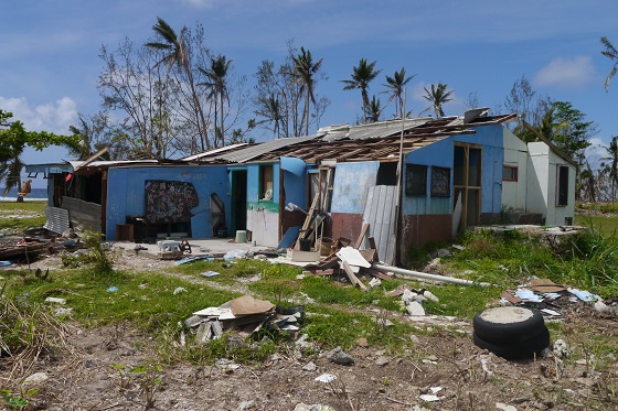
PacRIS has several applications, including use in the development of the Pacific catastrophe risk insurance pilot, which made a payout to Tonga of USD 1.27 million, following Cyclone Ian, and of USD 1.9 million to Vanuatu, following Tropical Cyclone Pam.
The PacRIS products utilise free and open source software which research from the World Bank has shown to have enormous benefits for both developed and developing countries and allow for a wide range of actors to be able to participate in building resilience.
PCRAFI is a joint initiative between SPC, the World Bank and the Asian Development Bank with the financial support of the Government of Japan and the Global Facility for Disaster Reduction and Recovery (GFDRR) and technical support from AIR Worldwide, New Zealand GNS Science, Geoscience Australia, Pacific Disaster Centre (PDC), OpenGeo and GFDRR Labs.


